The first inhabitants on the Hoge Berg
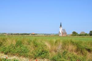
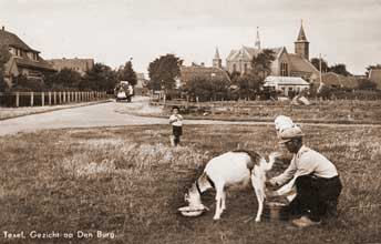
The hard core of Texel is the Hoge Berg between Den Burg and Oudeschild, a low hill of boulder clay pushed up during the penultimate Ice Age.
- Stone Age hunters: the oldest traces of people are flint tools from around 5000 BC, probably left by hunters who stayed here temporarily.
- Burial mounds and urns: Bronze Age burial mounds (around 1000 BC) were found in Den Burg, and near the village there is also an urn field from the early Middle Ages.
- Driven out by the sea: around AD 250 the early settlement ended because of a rise in sea level, and only in the sixth century were the higher parts inhabited again.
- An old name: as early as the eighth century the area is mentioned as pagus Thesla or Texla, a district of old Frisia.
An island is born
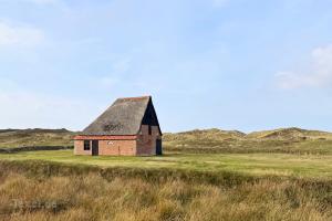
Texel only became an island through the All Saints' Flood of 1170, a catastrophic flood that radically changed the landscape of North Holland.
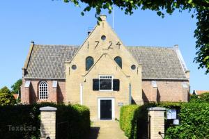
- Count and town rights: in the 13th century Count Floris V subjugated West Friesland including Texel, and in 1415 Texel received town rights with its own sheriff, aldermen, courts and markets.
- Dikes and cooghen: around 1300 dams were built between the higher parts, as well as dikes that created polders called cooghen, a name that lives on in De Koog.
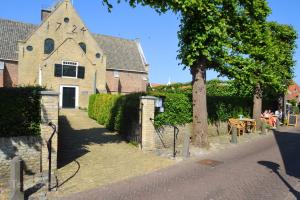
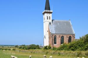
- Oldest church: the St Martin's Church in Oosterend dates from the Middle Ages and is the oldest church on Texel; for centuries its tower served as a landmark for ships.
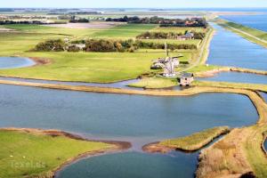
- The lost village of De Westen: the fishing village of De Westen had an open connection to the North Sea, but when it silted up in the 14th century the inhabitants left; only the Torenhuis on the Westerweg still recalls the village.
The Texel Roads and the VOC
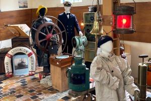
Between 1500 and 1800 the Texel Roads, the anchorage on the east side of the island, was one of the busiest and most important places in Dutch shipping.
- Waiting for the wind: merchant ships, whalers, warships and above all VOC ships sometimes lay here by the hundreds, waiting for a favourable wind.
- Water from the wells: the ships took on water from the Texel wezenputten; it was rich in iron and therefore kept well on long sea voyages.
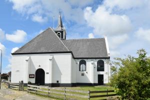
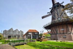
- Oudeschild harbour: Oudeschild only got a harbour in 1780; until then everything took place on the open water of the Wadden Sea.
Forts and sea battles
Because of the roads and the Marsdiep, Texel was of great military importance for centuries, and you can still see this in the landscape.
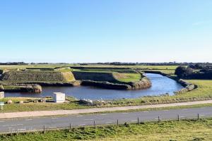
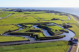
- Fort De Schans (1574): Fort De Schans near Oudeschild was built in 1574 on the orders of William of Orange to protect the roads, and later the VOC ships; its star shape is still clearly visible.
- Battle of Texel (1673): on 21 August 1673 Michiel de Ruyter defeated an Anglo-French fleet off the coast of Texel and Den Helder, one of his best-known victories.
- Napoleon on Texel (1811): fearing an English invasion, Emperor Napoleon had the defences strengthened in 1811 with, among others, Fort Redoute and Fort De Lunette, and on 16 October 1811 he inspected them in person.
- End of the roads: in the 19th century ships stopped anchoring off Texel as they switched to other routes and ports.
Eierland and the new polders
Northern Eierland was a separate island for a long time and gradually joined Texel over a few centuries.
- The Zanddijk (1630): reed screens and marram grass encouraged dune formation, and in 1630 the Zanddijk was completed, linking Texel and Eierland.
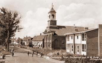
- De Cock and De Cocksdorp: in 1835 Nicolas Joseph De Cock from Antwerp and others set up a company to reclaim the salt marsh between the two islands; the new village was first called Nieuwdorp and later De Cocksdorp.
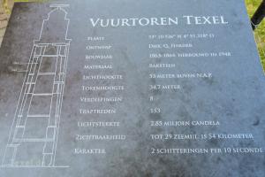
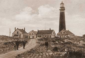
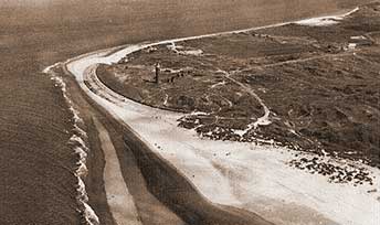
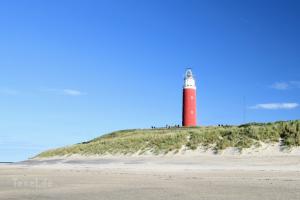
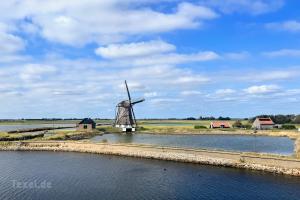
- The lighthouse (1864): after years of pressure from notary Johannes Ludovicus Kikkert, because dozens of ships were wrecked every year, the Eierland lighthouse was built on the northern tip and first shone in 1864.
The Georgian uprising: Europe's last battle
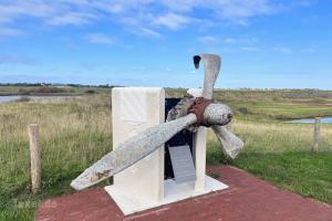
At the end of the Second World War, Texel became the scene of a bloody uprising that continued after the German surrender.
- The Georgian battalion: in February 1945 a battalion of about 800 Georgians, mostly former Soviet prisoners of war, and 400 Germans was stationed on Texel.
- The uprising (April 1945): on the night of 5 to 6 April 1945 the Georgians turned on their German officers, after which a German counterattack followed that lasted beyond the surrender of 5 May.
- Liberated on 20 May: Canadian soldiers only arrived on Texel on 20 May 1945; by then at least 1,000 Georgians, Germans and islanders had died, and the lighthouse had been badly damaged.
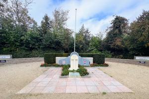
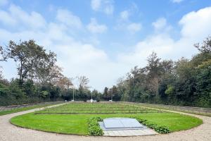
- Georgian cemetery: almost 500 Georgians lie in the Loladse Georgian cemetery on the Hoge Berg, with their commander Shalva Loladze at the front.
From farmland to holiday island
From the early 20th century, tourism increasingly replaced farming and fishing as the main source of income on Texel.
- First seaside hotel (1907): De Koog became the island's main seaside resort, and the first hotel for bathers opened there in 1907.
- Their own ferry: in 1907 islanders also founded their own shipping company, TESO, which still runs the ferry to Texel.
- Protecting nature: dunes, woods and salt marshes are now largely protected as Dunes of Texel National Park.
- Busy but never full: hundreds of thousands of visitors come to Texel every year, the most visited Wadden Island, but thanks to a limited number of beds it never feels overcrowded.